
Digital Elevation Model (DEM) is remote sensing to create data for evaluational maps.
http://members.shaw.ca/cismaps/dem/cded1250map.png
 Digital Line graph (DLG) is used for United States Geological society for elevational maps for data.
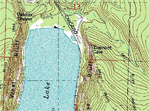
 DRG maps is a scanned image of a topographical map from the USGS that is made into a digital map. This is a DRG map of Chicago.
 Isopachs are contour lines of equal thickness over an area.
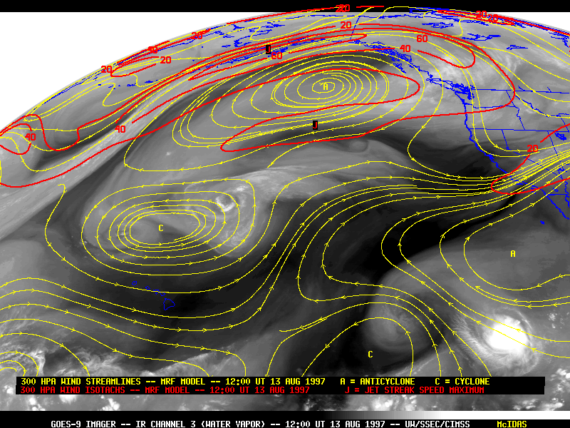
 Isotachs are lines of equal wind speeds that are mostly contoured in the upper levels of the atmosphere.